In his instructions to the first U.S. diplomatic agent assigned to Guatemala City, Secretary Adams conveyed the U.S. government’s lack of knowledge of the region: “of all the countries of the Southern Continent, it is that with which we have, hitherto, the fewest relations, and concerning which we have the least information.” Determined to remedy this lack of data, Adams ordered, “The first and constant object of your attention . . . will be to obtain and to communicate to this Department . . . information, as well respecting the physical condition of the country, as the moral and political condition of its inhabitants.”
Retrieving this information proved deadly. The first recipient of the instructions died in Norfolk, Virginia, before ever departing for Guatemala City. The second man died mid-journey in the Florida Keys. When the third diplomat to receive this order finally arrived in Central America, he blamed Spain for consigning “this fair portion of the earth to oblivion” and for keeping the region “shrouded from the eye of science.” No data could be obtained; it had to be made.
Some Central American leaders wanted the new nation to support the scientific work that would reveal the region’s value to the world. “To know if the opening of the Canal is possible,” one Guatemalan representative argued on the floor of the national Congress, “it is necessary to survey all the land through which the canal line must pass from the north coast to the south coast: it is necessary to do leveling, to determine heights and set degrees: it is necessary to establish the general map of the State, and the special one of the San Juan River, of Lake Nicaragua, and the dividing land between it and the Pacific Sea.” He confirmed, “None of this has been executed so far with the necessary accuracy. No leveling has been done: no heights have been calculated: no positions have been determined. We do not yet have maps, plans, or exact sketches.”
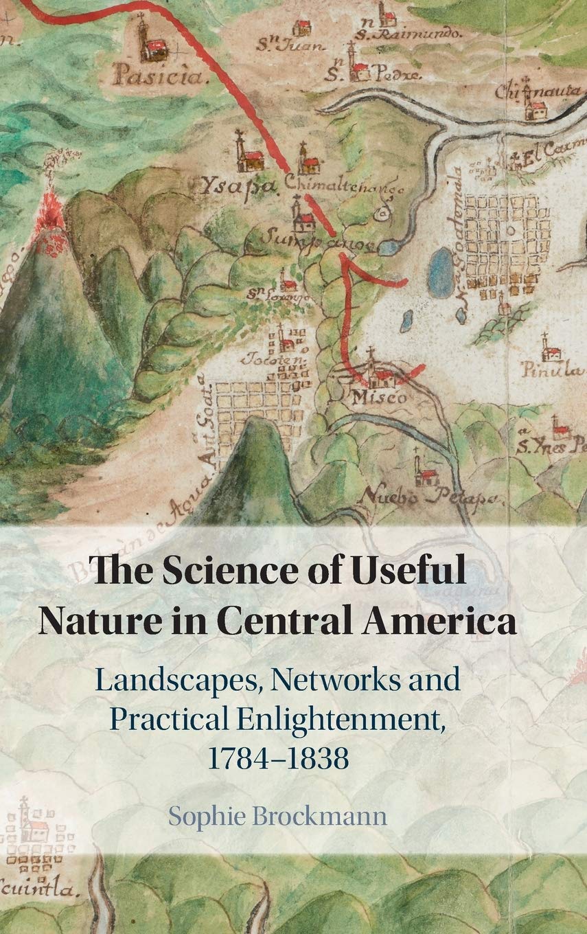
True, Central America might not have the kinds of maps, plans, or surveys that Adams or this legislator would have liked canal engineers to evaluate, but Central America was not quite “shrouded” from science. In her fascinating new book, The Science of Useful Nature in Central America: Landscapes, Networks and Practical Enlightenment, 1784-1838 (Cambridge University Press, 2020), Sophie Brockmann offers significant evidence that Central America had a long tradition of producing useful knowledge. Brockmann argues that, from the late colonial period through the first decade of independence, Spanish officials and elite Central Americans pursued a “practical Enlightenment that would offer prosperity by applying scientific knowledge to the management of landscapes” (1). Although these efforts “did not succeed in completely transforming Central America’s economic fortunes,” Brockmann insists that “we should take seriously many scattered short reports from across the kingdom, mainly in matters of agriculture or natural history, sometimes infrastructure, geography, or medicine, which reported attempts at improvement, progress, and pride in members’ achievements” (7).
